
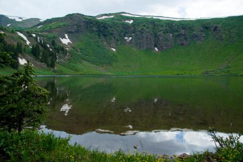
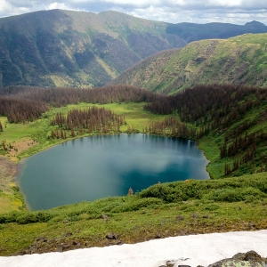
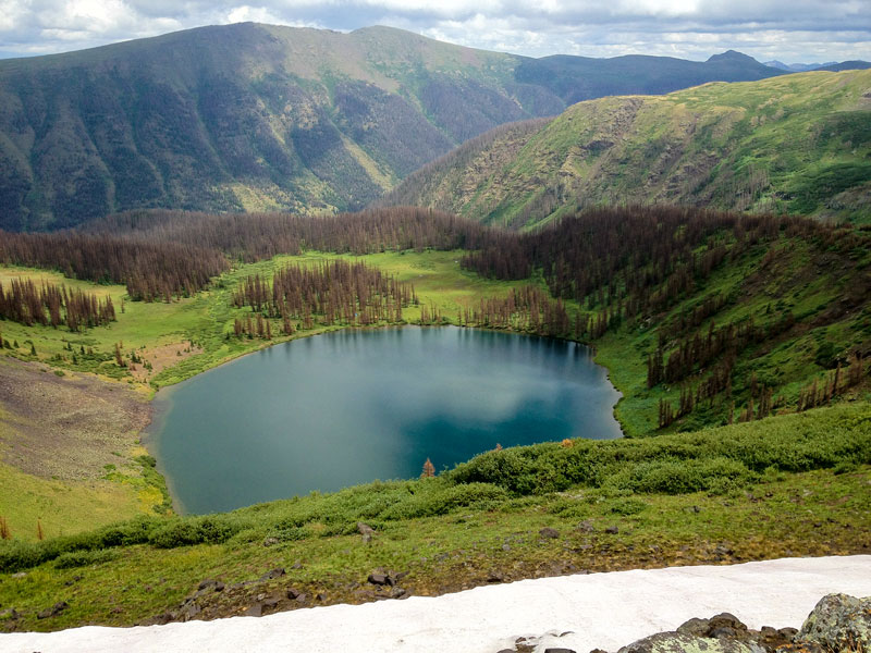
Squaw Lake
- Lake/Pond/Reservoir, High Mountain
- Location: Squaw Lake
- Elevation: 10400-12400
- Restrictions: Must have Colorado Fishing License to fish.
- Fishing Method: Flyfishing, Spin Fishing
- Seasonal Accessibility: Late Spring/Summer/Fall
- Access: HorseBack, Hike
- Driving Directions: Directions from Creede: Travel southwest on Colorado Highway 149 for 20.1 miles, to the intersection of Colorado Highway 149 and Forest Road #520 (Rio Grande Reservoir Road), then 10 miles west on Road #520 to the 30 mile Campground.
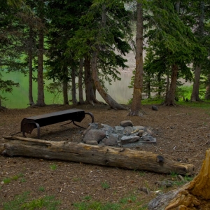
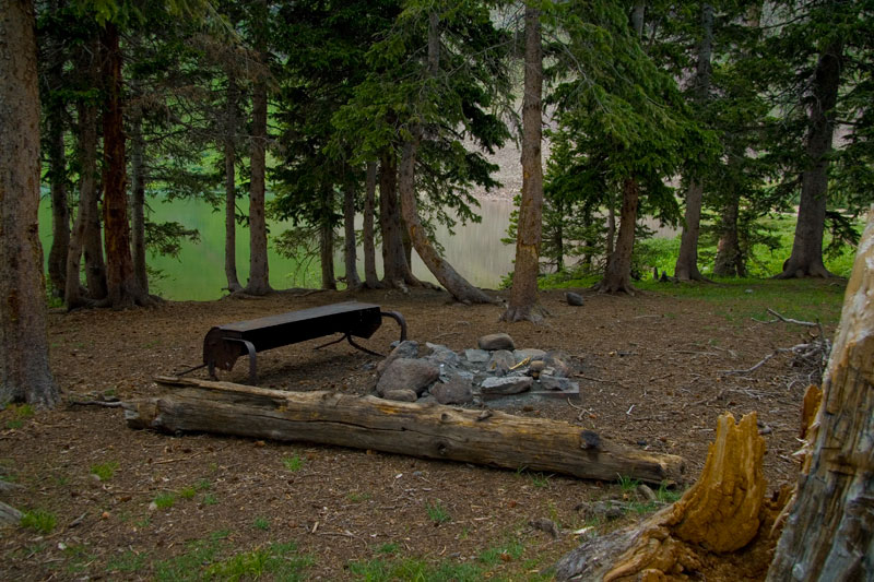
- Hiking Directions: Take the Squaw Creek Trail for 6 miles to the south. The Squaw lake trail goes west at this point to the Lake itself and beyond to the divide. The Squaw Lake trail is 3.8 miles long. It begins at Forest Trail 814 and ends at CDT 813. Squaw Lake Trail lies deep within the Weminuche Wilderness. Good access to the Continental Divide is available on this trail. After crossing the Squaw Creek Bridge, the trail makes a steady, gradual climb through a mixed old growth spruce-fir timber stand. About 6 switchbacks are made in the trail to reduce the steepness of the 1,500 feet elevation gain from the trail’s beginning to Squaw Lake. From Squaw Lake to the Continental Divide, the lower segment is very steep for about ½ mile after crossing the Squaw Lake Dam. The upper segment is a gradual, steady climb to the Continental Divide. This segment is not defined well, but hikers should have little trouble spotting the Continental Divide Trail in the open area above Squaw Lake.
- Forest Service Info:: https://www.fs.usda.gov/recarea/riogrande/recreation/fishing/recarea/?recid=29206&actid=42
- Main Image Description & Credit: Squaw Lake - All to Yourself
-
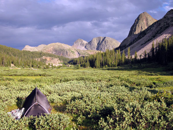
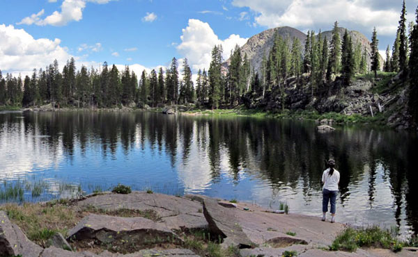
A beautiful photo essay by Scapper Blackwell that covers Squaw Creek, Squaw Lake, Ute Lakes and more!
See all the photos here
Comments powered by CComment